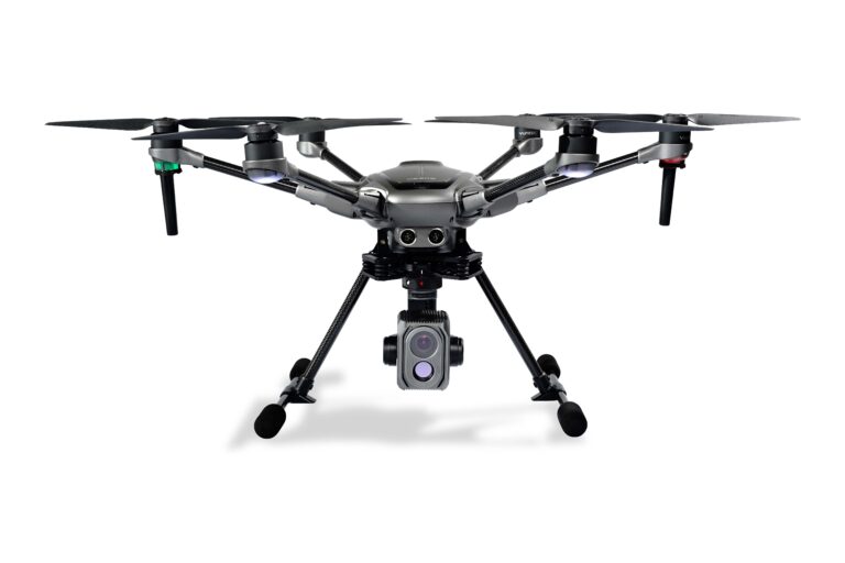
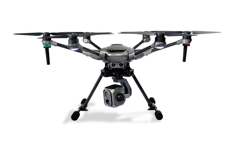
Combo H520E + E20Tvx
HEXACOPTER FOR PROFESSIONAL USE
Specially designed for commercial drone applications, the H520E-OFDM hexacopter gives rescuers, inspectors, police, firefighters and survey teams a versatile tool.
The H520E-OFDM is a robust, powerful and flexible UAV platform that can be ideally adapted to individual requirements and thus enables a large number of industry-specific applications.
Long flight times and high-quality camera systems with embedded GPS data allow for quick and accurate coverage of an area, while the interference-free precision compass enables flying in previously difficult-to-fly environments. In addition to the performance and flexibility, great importance was attached to the flight and data security of the drone during the development of the platform.
FEATURES
- Powerful flight control processor
- New battery connection with fail-safe design
- Range through new OFDM module
- For commercial and government applications
- High precision, low interference compass
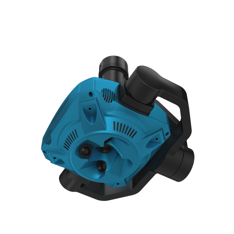
- Hot-swappable payload systems
- No data transfer to external servers
- Stable and safe 6-rotor design
- Energy-efficient and quiet
- ST16E with integrated 7" touch display, voice output and extensive DataPilot™ software
- HDMI output for transmission of the live image of theDrone on an external monitor
- Mission planning on the computer or on the ST16E
- Retractable landing gear
- H520E hexacopter with OFDM module
- E20TVX
- 2 batteries 4S-6200mAh
- EU charger
- 12v charging cable
- ST16E remote control (touch screen)
- 1 ST16E battery
- USB charging cable
- sun visor
- neck strap
- SD memory card
- Manual